Kirkstone Pass

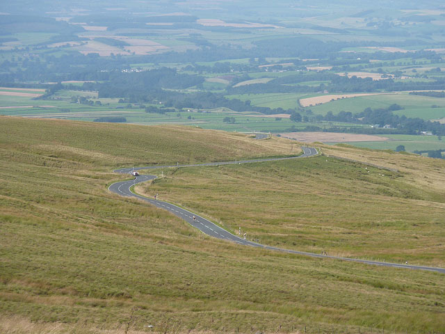
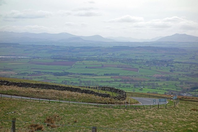
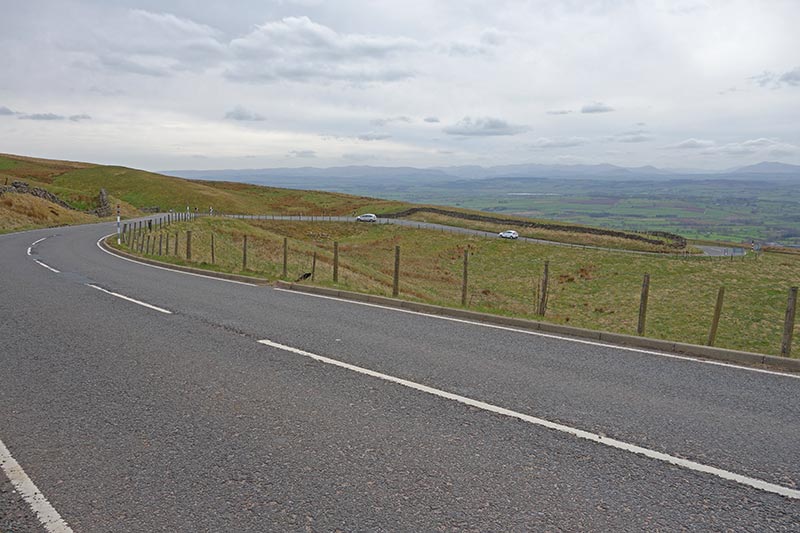
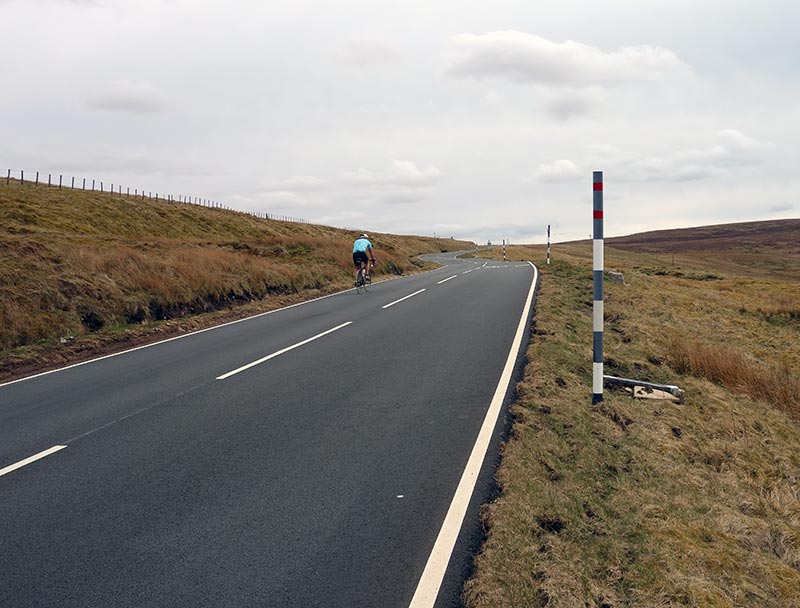
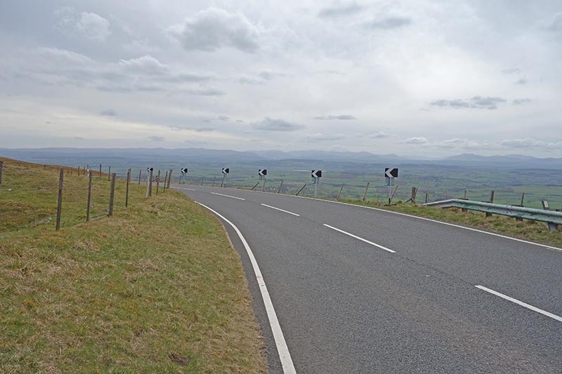
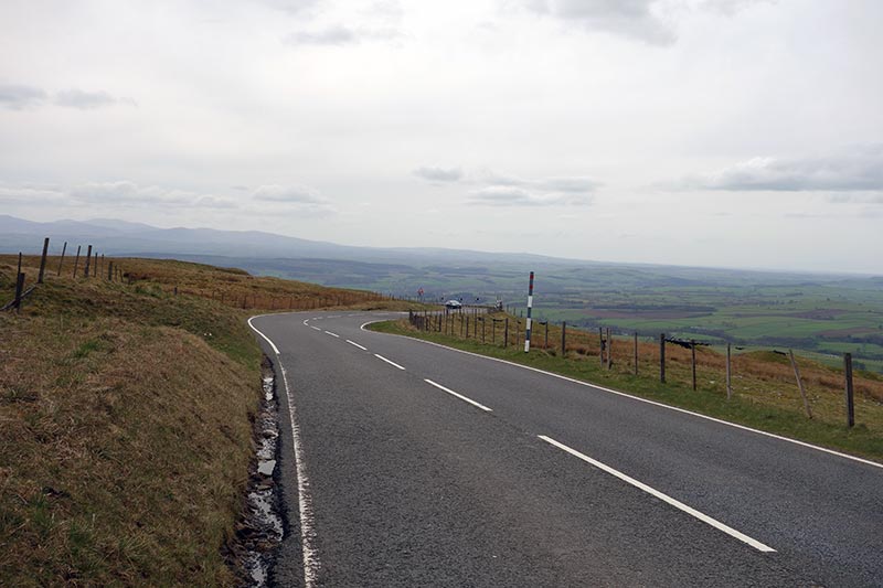
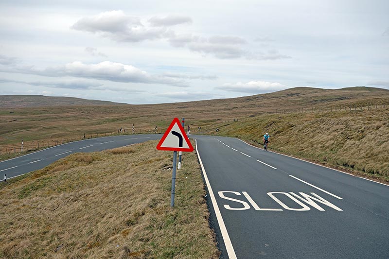
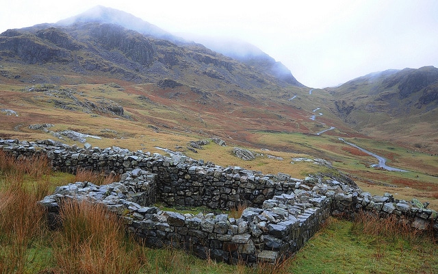
Kirkstone pass is the highest major road (A592) in the Lake District. It reaches a height of 1,489 feet (454 m) and affords great views of the surrounding lakes. There are three different routes to the top of Kirkstone Pass, each offering there own challenges. The hardest is ‘The Struggle’ which takes the shortest route from Ambleside to Kirkstone Pass. It is the shortest in distance but the steepest and requires over 400 metres of climbing. The other two ways, on the main road (A592) are less steep, but make good long challenging climbs.
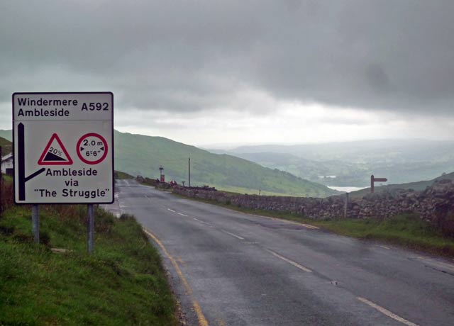
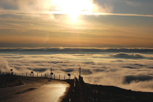
kirkstone-pass-top
At the top of Kirkstone Pass. Lake Windermere is to the right. The weather is often ‘moody at the altitude of 454 meters


Ambleside to Kirkstone pass via ‘The Struggle’
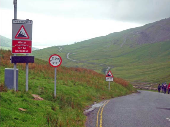
the struggle kirkstone pass

  • Net height Gain 396 metres from Ambleside.
  • Max gradient 24%
  • Distance 4.8 km
  • Avg Grade 8.2%
  • Max Gradient: 20%
  • Total Elev Gain 403m (including descent)
  • 100 Climbs #83
bottom of struggle
The bottom of the Struggle in Ambleside, don’t be deceived by this photo.

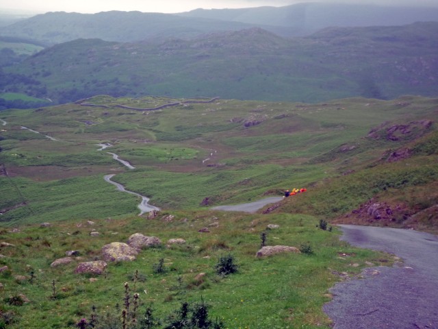
From Ambleside, the road soon becomes very steep around swooping corners. The road surface here is very smooth (it was recently replaced), but it doesn’t make it an easy ride. For a considerable distance, the gradient is between 18%-20%. It’s a real lung breaker.

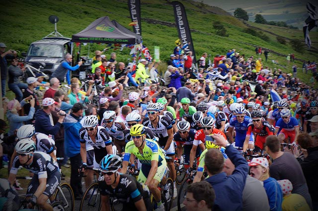
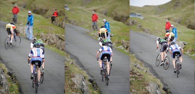
Yesterday there was a huge surge in interest for Kirkstone Pass ‘The Struggle’ It was a great joy to see the professional peleton really struggle up the Struggle. In Belgium you may get many 20% climbs, but at 4km long, this really split apart the peleton.

bradley wiggins
Photo: Lee Black Instagram

Bradley Wiggins was captured ‘walking’ up the last part of the Struggle, perhaps a slightly mischievous nod to Froome’s running up Mont Ventoux in this years Tour, but Wiggins seemed to be giving the spectators a lot of joy!

When watching cycle races on tv, my mother always asks so where’s Bradley? I always say these days ‘he’ll be at the back having a laugh’ – It’s hard to explain how you can win the Tour de France, win an Olympic gold in world record time, but still be at the back of the peleton in the Tour of Britain.

Read more

Carlton Bank

carlton bank

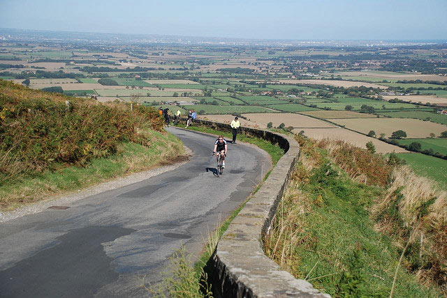
Carlton Bank is located in the Cleveland hills, north east England. It is on the north west edge of the North York Moors. From the top of Carlton Bank you get great views over the surrounding countryside.

Carlton_Bank_summit
View from Carlton Bank


It is used as a venue for a hill climb by Cleveland Wheelers and also the National hill climb championship in 1996.

It is relatively steady as you climb out of Teesdale, but once across the cattle grid in the middle of the climb, it becomes very steep – like most North York Moor climbs. It is a good 25% in places before you finally crest the climb on to Cringle Moor. There is a sheer drop down one side  – which makes it a popular spot with hang-gliders.

carlton-bank-2

Photo CWCC 

Read more

Rowsley Bar

Rowsley-bar

I’m slowly working through the 100 greatest climbs. Today is Rowsley Bar a few miles south east of Bakewell in the Peak District. I have only ridden the top half of the climb because when I visited the road was closed! It is a great view from the top, but it is at the bottom where the climb is tough. There are many other climbs nearby, such as Beeley Moor.


Rowsley-bar
Top of Rowsley Bar Photo: Clarke Family

rowsley bar

Jim Henderson gives a description of full course

“The new course started quite steadily, then went into some woods and around a couple of vicious hairpin bends, rumoured to be 1:4 at the apex. The half-way point marked the end of the hardest section and was followed by a long section of false flat, before a tricky sting in the tail where the road kicked up again for the final 400 metres or so. All was on a minor road which was closed to traffic.”

Jim Henderson’s Page


Rowsley-bar
Rowsley Bar bottom – Photo: Clarke Family

Read more

Hartside Fell

hartside

Hartside Fell is long steady climb in the north Pennines. It is one of the longest continual climbs in England – rising 400m over 5 miles. It will be used as a summit finish in this years Tour of Britain, stage 5.

hartside
Photo by Bryn looking West from top of Hartside


  • Location: A686 – North East of Penrith towards Alston
  • Distance: 4.9 miles
  • Avg grade 5.0%
  • Max Grade: 7.0%
  • Elev Gain: 400m
  • Maximum Elevation – 1915ft / 583m
  • Cat: 2
  • 100 hills #77
  • Strava segment
  • Everesting? 23*9.8 miles = 225 miles

Photos from 2015

I rode Hartside on May 4 – after Kent Valley R.C. Shap hill climb. There was a nice tailwind on that day. As it is an exposed climb, a tailwind makes it much more enjoyable. Would be hardwork into headwind. The good news is that the prevailing wind is a westerley (tailwind).

There’s no real secret to the climb, it’s just a steady 5% all the way to the top. Perhaps slightly steeper on final hairpin.

You get a lot of motorbikes in this part of the world whizzing past you on the way up.

BTW: if you want a real test, Great Dun Fell is about 10 miles south.

hartside-1
Lake district in the distance
hartside-2
The long winding road
hartside-5
snow markers

hartside-3 hartside-4 hartside-6 hartside-7 hartside-8

heandfi-fiona-hartside-floods-2009
Photo Fiona in Eden from top of Hartside after floods of 2009
hartside-bruciestokes
Photo Brucie Stokes – bottom of Hartside

Read more

The Tumble

tumble

I was staying in Forest of Dean this weekend, so I thought I’d cycle out to the Tumble – a climb that has featured in many Tour of Britain’s and something I’ve watched quite a few times on the TV.

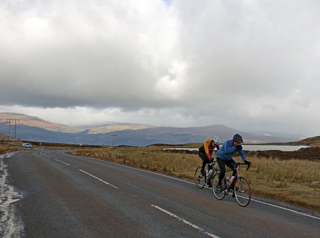
tumble-two-riders
Two riders on the Tumble

In theory, it was 25 miles from the Forest of Dean to the base of the Tumble in Govilon, Abergavenny. But, I trusted my instinct of ‘remembering the roads’ from five minutes of studying the map, rather than taking it with me. I once did the National 50 mile TT on the A40 around Raglan. But, that wasn’t much help, and I ended up taking a long detour on an unknown Welsh road to Usk. I kept hoping to cut across to Blaenavon, but didn’t have much luck. At one point, I went a long way up a mountain road to be greeted by a dead end sign – right at the end of the road. 40 miles later I did finally make it to Gavilon, and in between hail showers climbed up the Tumble.

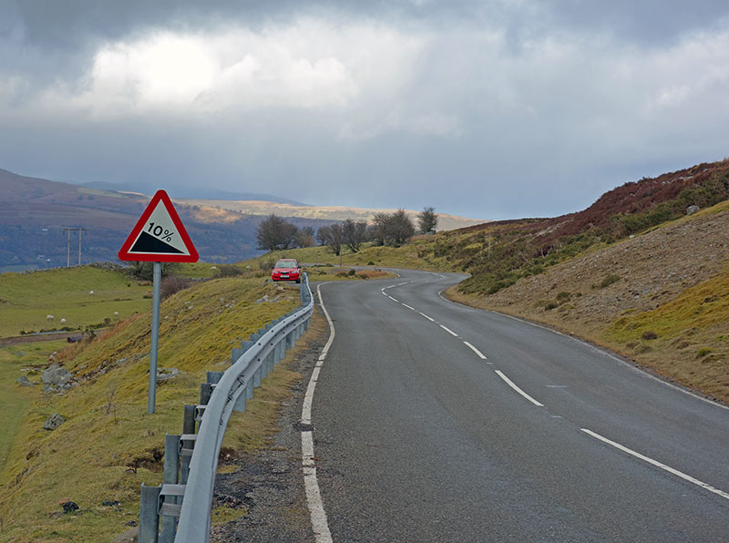
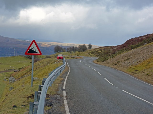
tumble-10-percent


It’s a good climb. The first half is a consistent 10% up a few hairpins, perhaps steeper in parts. As you go out of the trees, the gradient eases off a little and if there’s a tailwind you can pick up a little speed. It’s quite exposed at the top. It was popular with other cyclists, I must have seen a good 20-30 on various parts of the climb. I managed to overtake a couple on the way up. I had forgotten my cycling jacket so was just wearing loose under clothes, and had a camera swinging from thigh to thigh on the way up, which was irritating. I didn’t look the part, but still went up in a respectable time for February, on a winter training bike.

On the way back I didn’t get as lost and was able to finish off with a little climb of Symonds Yat from the Wye Valley. In the end 75 hilly, slow miles. Nice to do some new roads, though next time I might take a map.

Tumble Climb

  • Location: Wales, Govilon,
  • Distance: 5.1 km
  • Average gradient: 8%
  • Maximum gradient: 15%
  • Height gain. 399m
  • 100 climbs: #97
  • Strava segment
  • Everesting? – 23 * 10.2 km = 234 km

Read more

Buttertubs pass

buttertubs

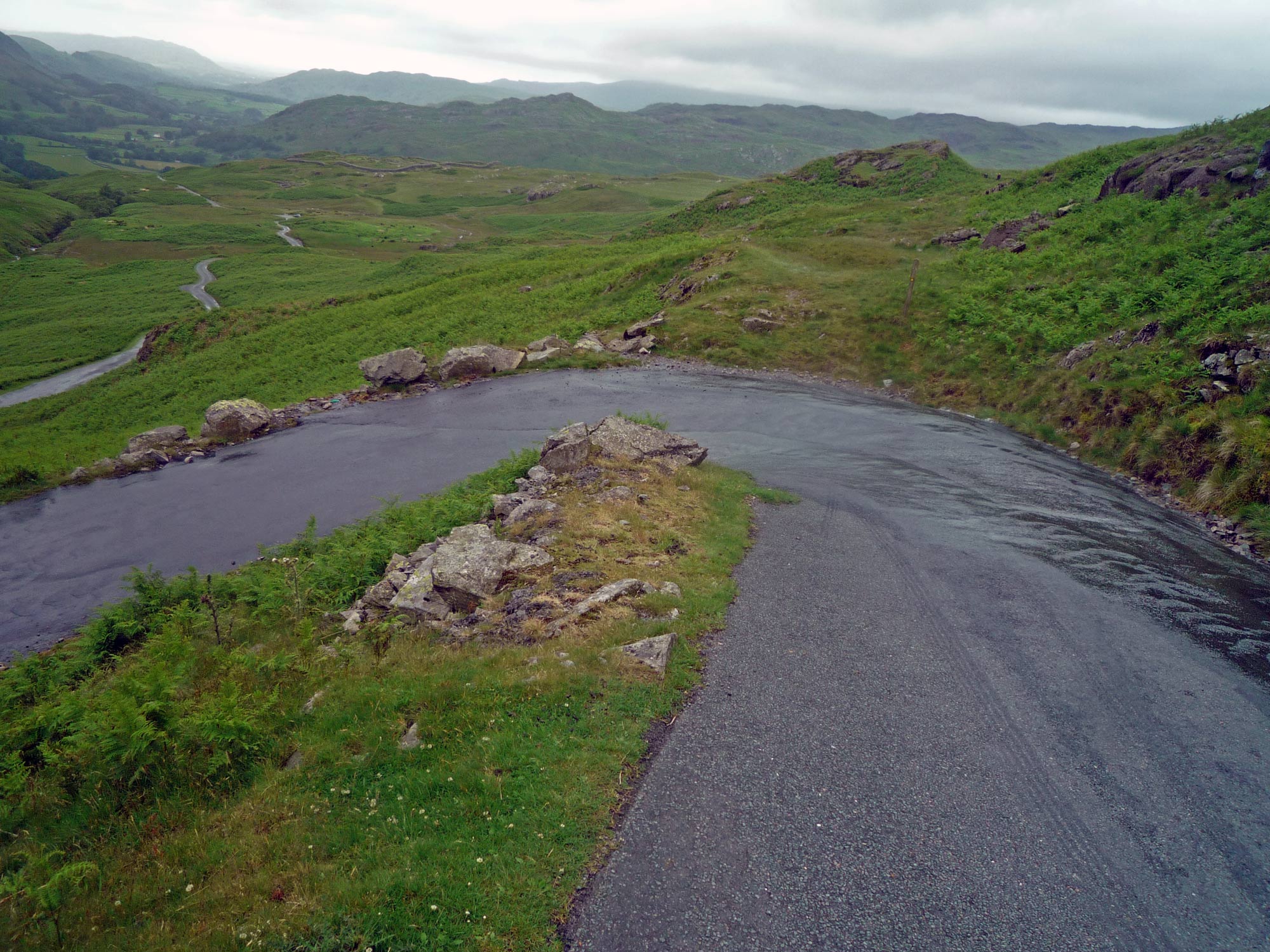
Buttertubs is a good testing climb from Hawes to Muker taking you between the two Yorkshire dales of Wensleydale and Swaledale. It is quite long and steep and affords great views on both the way up and down. The climb from Hawes to Buttertubs features in the first stage of the 2014 Tour de France, and is the highest point (526 metres) of the race during its sojourn in Yorkshire. It is #49 in 100 climbs (ranked 8/10) It also features in the popular Etape du Dales.

buttertubs On Buttertubs looking back towards Hawes.
Read more

Hardknott Pass

hardknott hairpin

I haven’t ridden all the climbs in the UK, but it will be hard to beat Hardnott Pass for difficulty, drama and the beauty of the surroundings. I always think of Hardknott and Wrynose pass as the King and Queen hill climbs of England. In terms of overall length and height gain, it is not particularly spectacular. But, the great attraction (or should I say feature) of Hardknott is its unrelenting steepness. Sometimes 1/3 signs overrate the gradient of the actual climb. But, with Hardknott pass, the 1/3 is really merited. No matter which line you take, you can’t avoid considerable sections of 30%. This is really steep; it’s so steep you can have a strange feeling that you might fall over backwards when climbing. No matter how fit or not you are, getting up Hardknott pass gives a sense of achievement, which is hard to replicate on longer, but shallower climbs.

hardknot
Hardknott by Orientalizing

Hardknott pass is not particularly accessible, hidden away in the Esk valley in the West of the Lake District, but it is definitely worth a visit and climbing both sides. Originally Hardknott was a Roman fort used to keep the pesky locals at bay.

It is worth bearing in mind:

  • The descents are pretty tricky too – check your brake blocks before riding.
  • Unfortunately, the road surface was pretty shocking on the East face, when I went in 2013.
  • Also, it is so steep, cars and larger vehicles can really struggle (you wouldn’t believe the inappropriate vehicles people try to drive up the 30% hairpins.) Before climbing, it is worth looking around to see if there is traffic jam in front or behind you. It is best if you can climb unimpeded by traffic.

Hardknott Pass West to East (from Eskdale)

hardknott2
looking down hardknott towards Eskdale. The hairpins were slippy. Wheelspin can be a real problem.
  • Distance: 1.6 miles
  • Avg Grade – 12%
  • Lowest Elev 126ft
  • Highest Elev 1,159ft
  • Height gain 1,033ft / 290 metres
  • Max gradient 33%

As you leave the River Esk, there is a gentle ascent before you hit the first 20% slopes. This is just a foretaste of what is to come, but it is really hard for about 500m, before the 20% gradient eases off, giving you some time for recovery as it averages a mere 8% for a km. But, you willwant to keep your bike in a low gear as you prepare for the final section. After this relative respite, you will need to get ready for the final section of twisting 30% hairpins. It’s unbelievably tough to pull yourself around these corners. If you don’t have the right gears, you will be getting off and walking. You can help yourself a little by going wide on the corners, this slightly lowers the gradient – but not much.  You will need to do a lot of pulling on your arms. It’s not just your legs that will be burning. Hopefully, you won’t get stuck behind a tractor. Cars and large vehicles can also struggle and come to an almost complete stop. You will be climbing to the smell of burning clutch. As the top approaches, the gradient mercifully eases off slightly. When you feel the gradient reducing, you know you’re going to make it – there is a great sense of relief!

hardknott
Hardknott. Photo S Fleming from Fred Whitton 2009.

At the top, it’s worth stopping to have a look behind you – it’s hard to believe what you have just climbed.

Read more

Ripponden bank and stage 2 of T de F

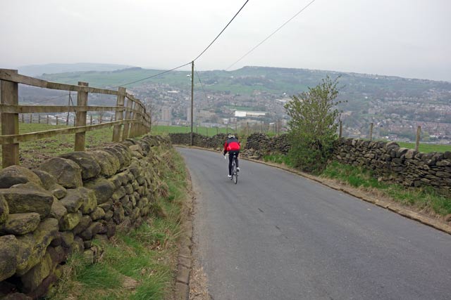
A training ride over Cragg Vale, Ripponden Bank and several other climbs which seem to proliferate around the Hebden Bridge area. Some of the climbs like Oxenhope Moor, Cragg Vale and Ripponden Bank feature in the TDF stage 2. Shame they didn’t put Luddenden Moor in there.

After Friday’s Buxton MTT, my legs were still a bit tired, but it was Easter Sunday, good weather and I was keen to check out some climbs in South Yorkshire, used in the upcoming TDF stage 2. I rarely go in this area, but it is great if you’re looking for hills to cycle up. Despite frequently getting lost and not always knowing where I was going, it was a good ride.

Oxenhope moor
Oxenhope moor

Over Bingley Moor, I went through Cullingworth to Oxenhope where I joined the TDF stage 2. There is a good steady climb from Oxenhope up to ‘Cock Hill’ on to the moors. At the top, it is quite high at 1,400ft, (400m) It is a fairly steady gradient, not too bad with the wind behind you. I was stopped at two sets of temporary traffic lights, as the council work furiously to get the road ready for the ‘big race’

From the top of Oxenhope moor, there is a great sweeping descent into Hebden Bridge. Not too steep, just nice and long. It will make a good climb the other way, with quite a significant height gain of over 280 metres. At Hebden Bridge, I had a vague idea to look for Mytholm Steps, but my OS map didn’t go that far. I ended up going miles past, ending up in Todmorden. I stopped to ask a kind elderly gentlemen, (he had a badge to say he was a veteran of the Normandy landings). He’d lived in Todmorden all his life, and told me I’d come 7 miles too far West. It would have been interesting to stop and talk to him more. But, I moved onto find some climbs.

Pexwood
Todmorden in the distance on Pexwood climb – the climb to a private house and a dead end

I saw this Pexwood lane, looking suitably interesting – winding it’s way up the edge of a moor. It was a great climb, with double switch backs – quite steep until it rather abruptly stopped at a ‘Private rood’ sign. I might have plodded on and tried my luck, but the road also deteriorated into an unmade surface. I turned around and went back  to Mytholmroyd for the Cragg Vale climb.

cragg-vale

Cragg Vale

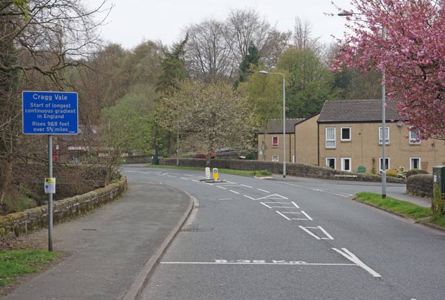
Cragg Vale proudly claims to be the longest continual ascent in England. 968 feet of climbing in 5.5 miles. There is nothing steep, it is a classic long drag or as Magnus Backstedt would say ‘A big ring climb’ Though I didn’t use my big ring, despite an encouraging tailwind. But, it was possible to keep a nice steady speed, even at the steepest section halfway through.

Cragg vale

Even at its steepest, it never seems to go over 7%, so you can do the whole climb seated down. It’s a good ‘easy’ taster of long Alpine climbs. You can get into a good rhythm and enjoy the scenery. Someone has put helpful km markers, telling you have long you have left. Though for some reason, who ever put these helpful markers on the road, decided the top of the climb was after -0.5 km of downhill. It did seem to kind of diminish the ‘longest continual ascent in England’ tag.

Cragg Vale
Cragg Vale half way up

The climb was very popular, I both ascended and descended Cragg Vale and saw a lot of cyclists going up and down. I’m sure the Tour de France has encouraged more to try the climb – it is definitely worth a visit for any cyclist. At the top of Cragg Vale a strong wind was blowing, which made the descent to Ripponden almost as slow as the climb.

Read more

Nick ‘O Pendle Hill climb

gareth-armitage-75

nick-in-distance

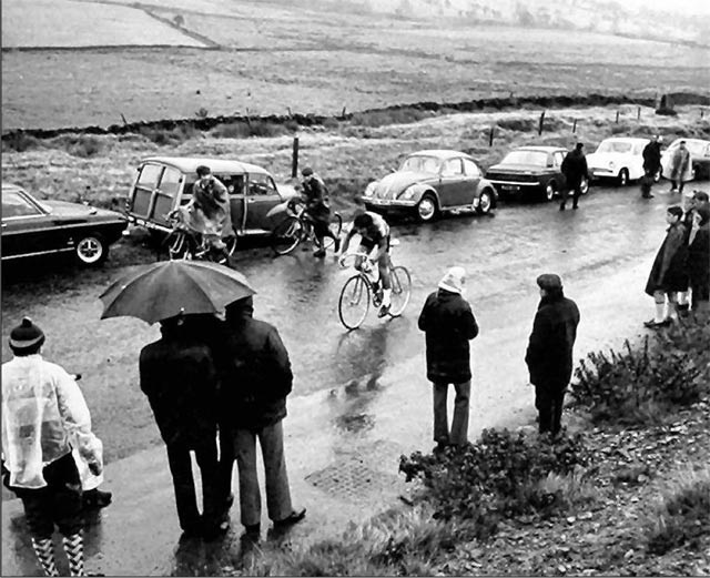
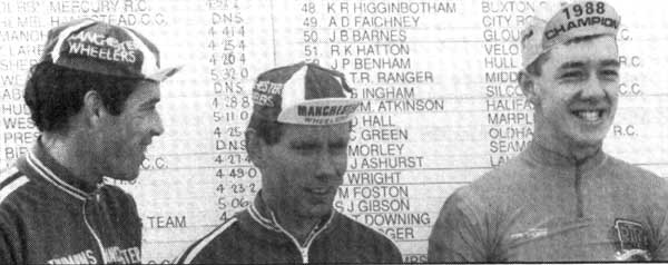
The Nick O Pendle hill climb is a testing climb from the village of Sabden Village up to the moors of Nick O Pendle.  (#72 on 100 hill climbs). The climb averages approx 10%, but at the start there are a few sections of 16%. It has been used several times for the National Hill Climb Championship, including 1988 when a young Chris Boardman won his first hill climb championship, setting a course record of 3.29 (he used a 60 inch fixed). A 19 year old Malcolm Elliot was also national champion on this hill in 1980.

nick-o-pendle

Course Description

nick-o-pendle-2
Start at the lamp-post outside the apartment block on the site of the old garage in Sabden Village. Proceed up the hill to FINISH at the large stone at the start of parking area and approximately 50 yards before the crest of the hill.The course is approximately 1350 yards long and has a maximum gradient of 1 in 6.

Nick ‘O Pendle Hill climb (from Sabden)

  • Distance 1.2km
  • Avg Grade 11.1%
  • Max Gradient: 16%
  • Elev Gain 135m
  • Height 1,514 ft – 461 metres
  • Course Record: Chris Boardman 3.29 (1988 – hill climb championship)
  • My PB: 3.35 (2011)
  • 100 climbs #74

Veloviewer

Strava

National Hill Climb Championships at Nick o Pendle

1988

881030-NationalHillClimb
A youthful Chris Boardman takes his first National hill climb championship in 1988.

Chris Boardman had finished second by less than one second to Paul Curran in 1987. But, after winning in 1988, he told Cycling Weekly: “I’m quite satisfied with the ride. It’s nerve racking to get it all out in three minutes. Some start too fast.

1980

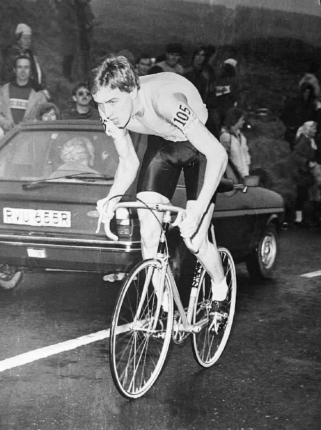
Malcolm Elliot 1980
19 year old Malcolm Elliot (Rutland CC) on his way to the 1980 championship.
Malcolm Eliot hill climb
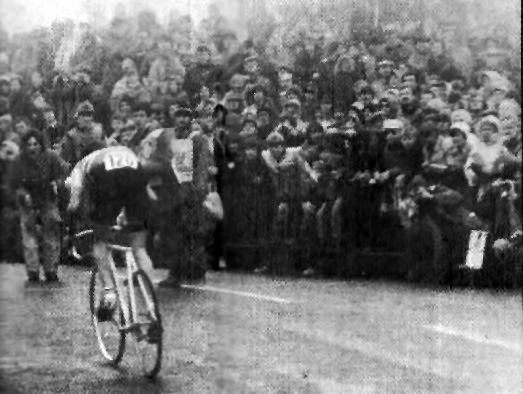
Last man Jeff Williams (and 1979 Champion) in the 1980 hill climb championships. He broke his nose before the race and did the race with blood coming down his nose. At half way he was four seconds up on Elliot, but by the finish had lost out by just 0.2 seconds. A very close championship. Cycling Weekly estimated a crowd of 5,000.
  • 1980 – 1st Malcolm Elliot – 3.33.4,  2nd Jeff Williams 3.33.6, 3rd Gareth Armitage 3.36.6

    Read more