Last Monday I turned 40, which is a milestone in the cycling world because it officially marks entry into the veteran category.
Late on Monday I started to come down with a virus which laid me low all week; a fitting end to a four week cold. Life seemed to be saying – in a non too subtle way – welcome to old age, mate. It’s all downhill from here.
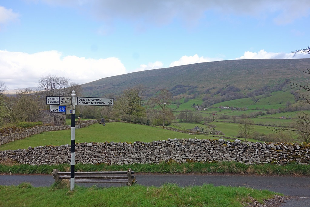
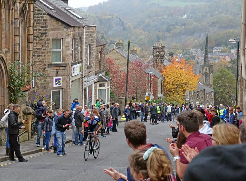
On the bright side, I can now look forward to 2017 with an eye on the Veteran categories. There used to be a time when 40 was considered quite old, and hill climbs, especially, were not considered particularly suitable for those in the latter half of their life. But these days, 40 seems to be the new 30; with many cyclists admirably demonstrating there is still a lot of potential even post-40.
As a philosophy, I like to think age is in the mind, not in the heart – so I guess the next decade will provide an opportunity to test the practical reality of advancing physical years and learn what kind of difference age actually starts to make. I think the secret is not to think about it.
Targets 2017
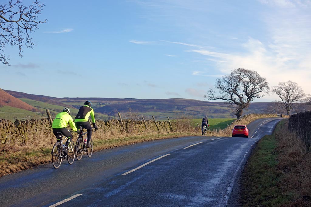
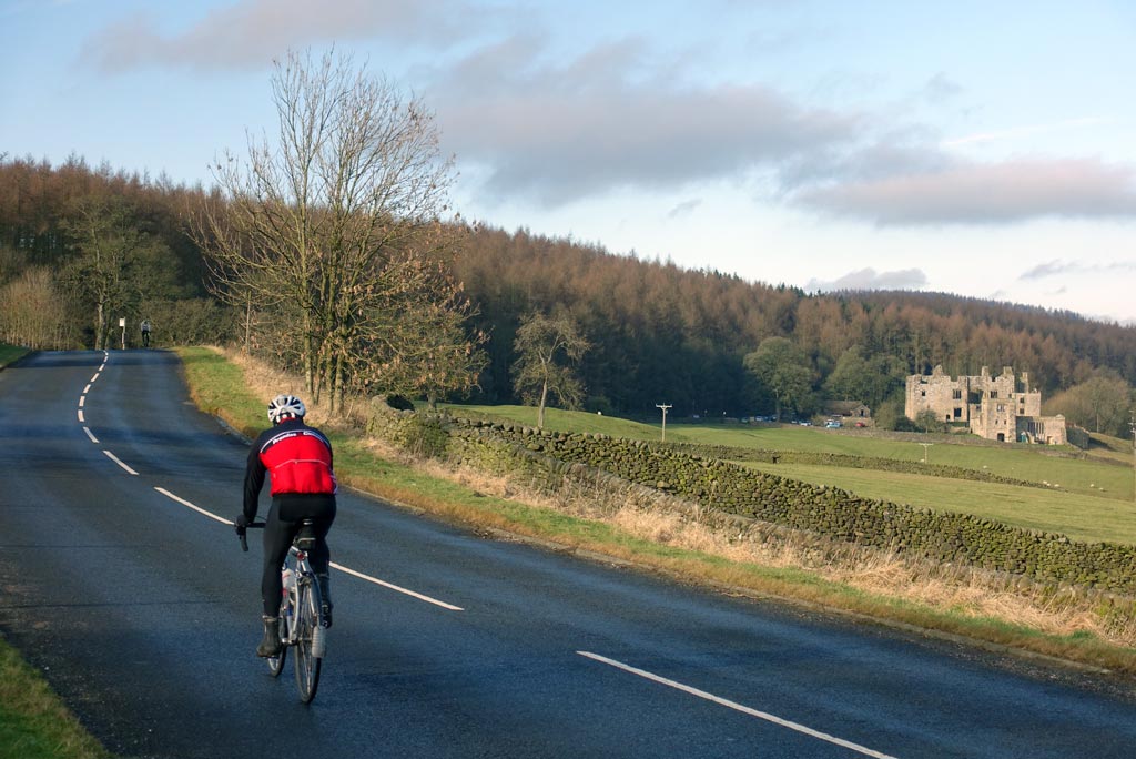
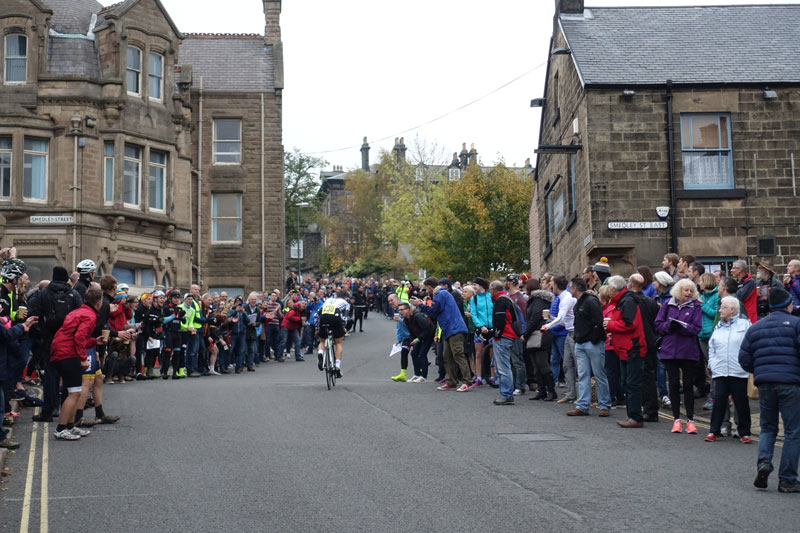
This year I came 2nd in the national 12 hour TT, and 41st in the national hill climb. With this kind of result, the obvious direction for a veteran would be to focus on the longer races and leave the quick twitch fibre stuff to the young ‘uns. But, at the moment, I feel more interest in concentrating on hill climbs and hilly time trials than the long distance stuff. Perhaps a prolonged hip problem has discouraged the initial burst of enthusiasm for a 24 hour time trial.
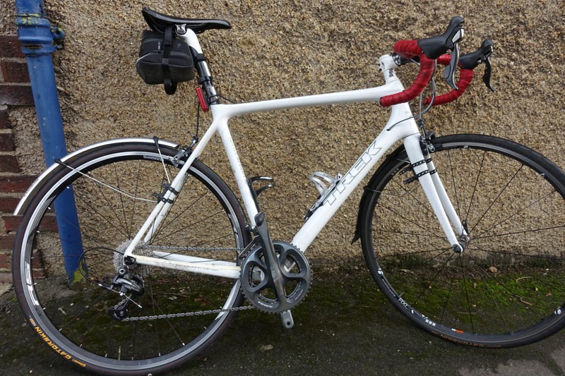
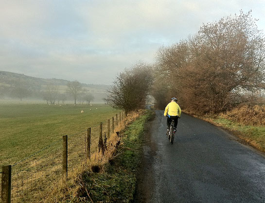
I’m still off bike, but with the weather dipping below freezing, I feel quite calm about the prospect.