I was staying in Forest of Dean this weekend, so I thought I’d cycle out to the Tumble – a climb that has featured in many Tour of Britain’s and something I’ve watched quite a few times on the TV.
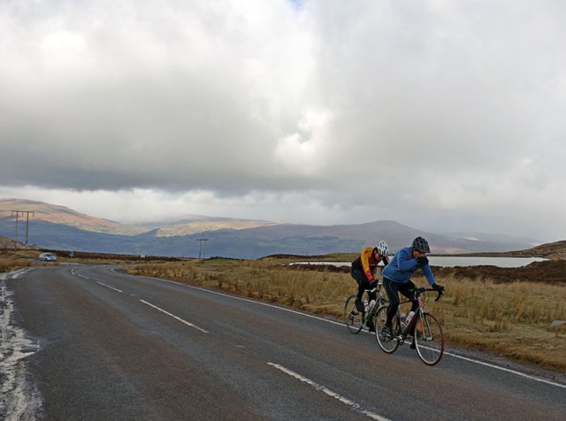
In theory, it was 25 miles from the Forest of Dean to the base of the Tumble in Govilon, Abergavenny. But, I trusted my instinct of ‘remembering the roads’ from five minutes of studying the map, rather than taking it with me. I once did the National 50 mile TT on the A40 around Raglan. But, that wasn’t much help, and I ended up taking a long detour on an unknown Welsh road to Usk. I kept hoping to cut across to Blaenavon, but didn’t have much luck. At one point, I went a long way up a mountain road to be greeted by a dead end sign – right at the end of the road. 40 miles later I did finally make it to Gavilon, and in between hail showers climbed up the Tumble.
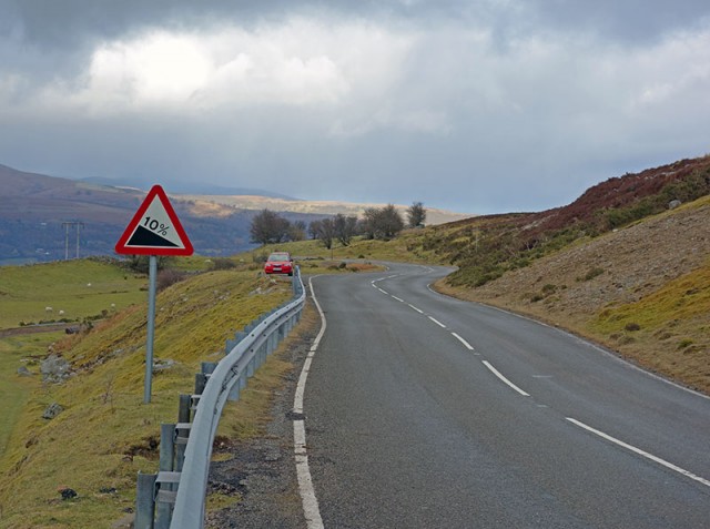
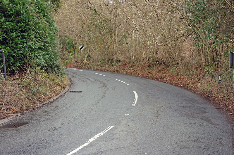
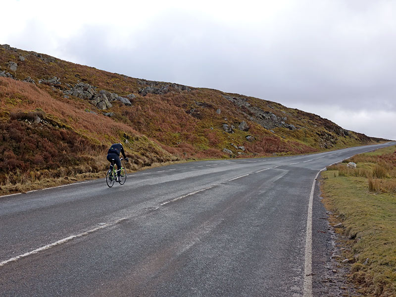
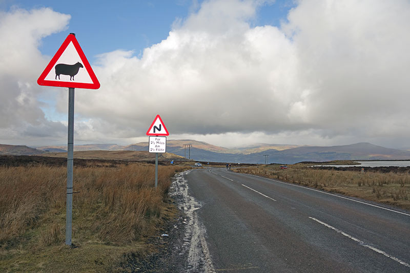
It’s a good climb. The first half is a consistent 10% up a few hairpins, perhaps steeper in parts. As you go out of the trees, the gradient eases off a little and if there’s a tailwind you can pick up a little speed. It’s quite exposed at the top. It was popular with other cyclists, I must have seen a good 20-30 on various parts of the climb. I managed to overtake a couple on the way up. I had forgotten my cycling jacket so was just wearing loose under clothes, and had a camera swinging from thigh to thigh on the way up, which was irritating. I didn’t look the part, but still went up in a respectable time for February, on a winter training bike.
On the way back I didn’t get as lost and was able to finish off with a little climb of Symonds Yat from the Wye Valley. In the end 75 hilly, slow miles. Nice to do some new roads, though next time I might take a map.
Tumble Climb
- Location: Wales, Govilon,
- Distance: 5.1 km
- Average gradient: 8%
- Maximum gradient: 15%
- Height gain. 399m
- 100 climbs: #97
- Strava segment
- Everesting? – 23 * 10.2 km = 234 km
Veloviewer
Strava
Related Pages
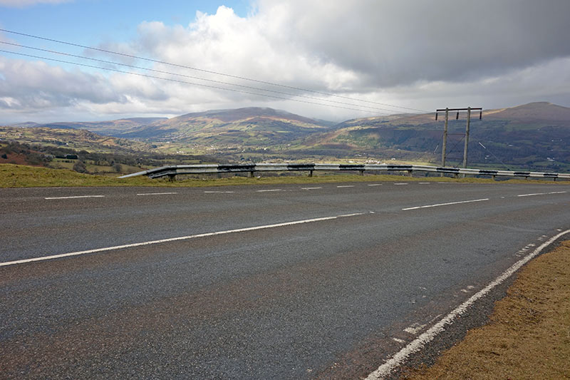
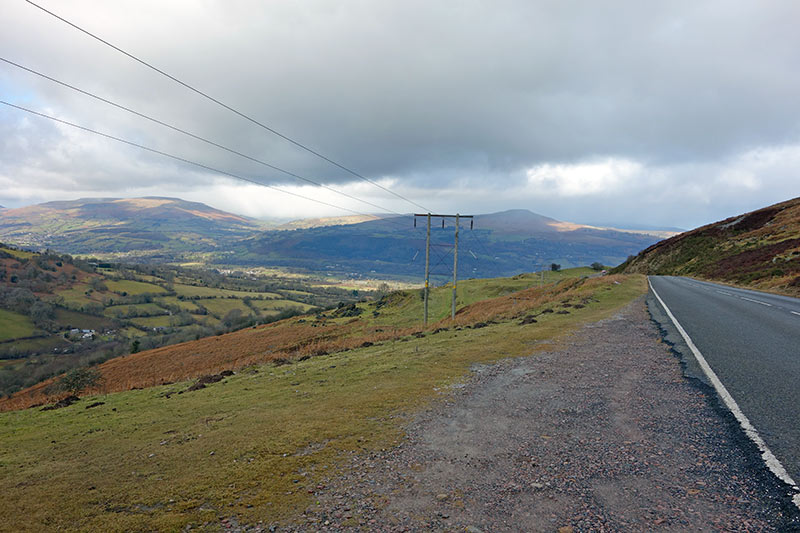
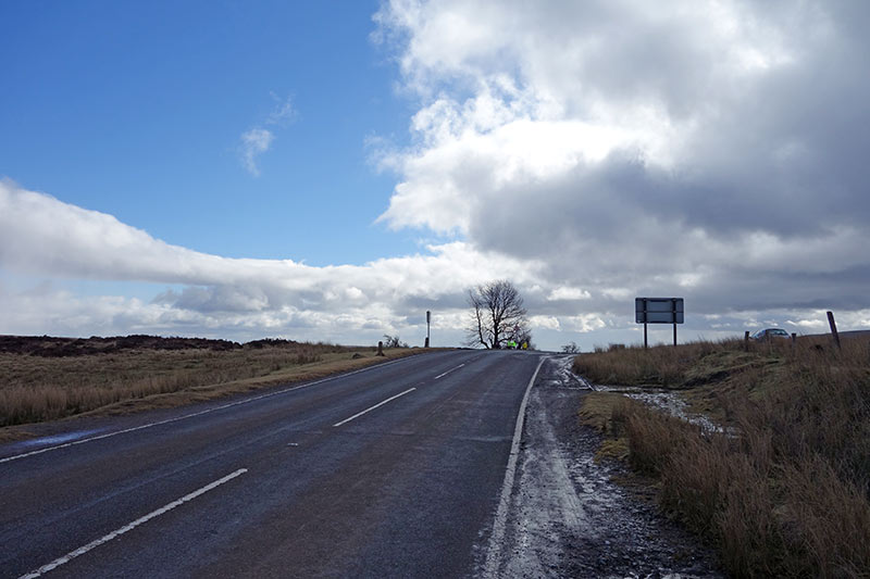
Photos of the Tumble
Related

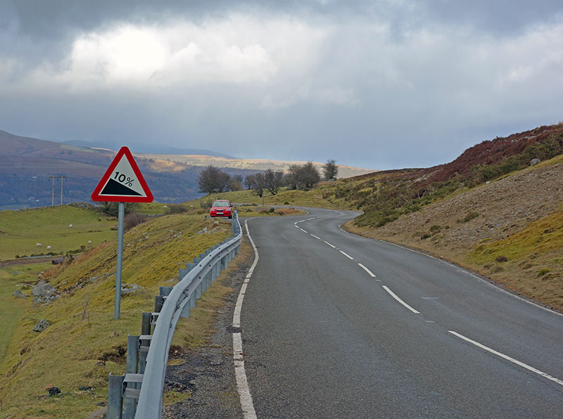
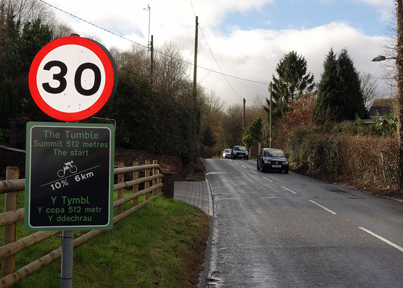
That sign below the 30mph sign is a classic – the climb would need to start at 88m below sea level! According to Simon Warren it’s actually 5k @ 8%, which seemed about right to me.
My wife and I are training for the 2016 Velethon so thought we had better do the Tumble.
We came from Rogerstone so had done 30 miles prior.Verdict? Not as hard as I expected and we are 55 and not hard core bikers.Llangynidir is much tougher.
The Tumble
The road that you refer to is Not the Tumble,it is the BLORANGE mountain road.
The Tumble is almost a mile away on the Pwlldu road and is only accessible on foot.
The signage is,therefore,is incorrect!
So is your spelling. Should be BLORENGE
An excellent climb. It brings back memories of a mad weekend I once had with three mates, four bikes and a camper van! It’s the only way to tick off the climbs in Simon Warren’s book!
https://thingswhatihavedone.wordpress.com/2015/11/29/4-cyclists-in-a-van-100-greatest-climbs-wales-edition/
Where do you think the top is? It isn’t the pond you have to turn left after Keeper Pond and continue climbing untill you reach the masts about a kilometre away.
“The Top of The Tumble” is where there are two road signs, one each side which say “Summit”…
Hi guys,
Hope you’re well.
Just wondering if I’d be able to use one of your images of The Tumble climb for a social media post I’m creating for this event I’ll be hosting: https://www.facebook.com/events/382822745936756/
I will of course credit cyclinguphill.com in the caption and drive traffic to your website.
Thanks so much,
Natalie
no problem, good luck with event.