Greenhow hill is one of my personal favourites. I’ve ridden it many times as it is quite close to my parents house in Menston. Nidderdale is also a beautiful part of the world and there are plenty of hills in this area. The only downside of Greenhow hill is that it is a fairly main B road with traffic from Pateley Bridge towards Grassington and Skipton. However, it is not too busy and won’t spoil your climb.
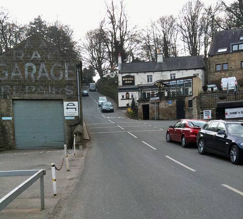
- Location – Pateley Bridge, North Yorkshire
- Length: 2.5 miles / 4 km
- Average gradient 7%
- Maximum gradient: 16%
- Height gain: 288 m
- 100 climbs: #52
- Strava segment
- Everesting? – 31 * 4.0 km = 124 km
- KOM time: 11.56 / 12.6 mph
Although the average gradient is 7%, it feels a lot steeper, especially on the first half. As you leave Pateley Bridge, you are immediately hit by the first steep section of 15-16%. You then get a brief respite before the next 15% section The hill is like this – there are three really steep sections, interspersed with some flat sections for recovery. Towards the top, the climb becomes more gentle as it winds its way to the top of the moor. Here it offers stunning views over the Nidderdale valley to your right.
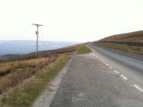
Alternate ways up Greenhow hill
There are three ways up to the top of Greenhow, the main B road is this climb. If you take the first left at the bottom of the climb, there are also two back roads which go up to the top of the hill. One of these roads is Guise Edge / Naught Bank – which is used in the Otley CC hill climb.
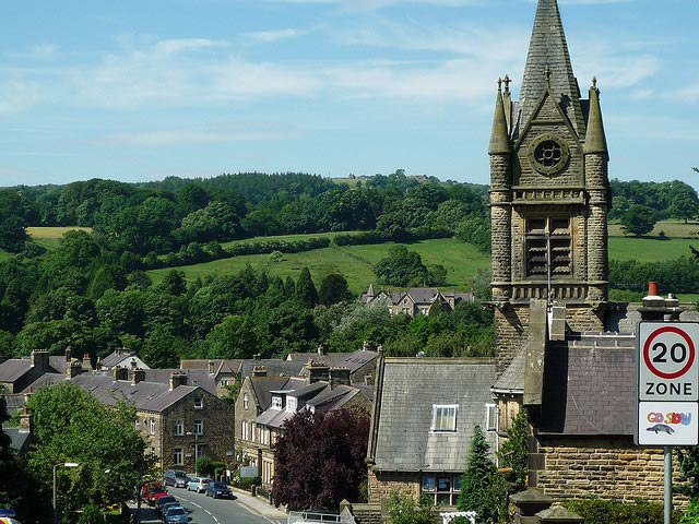
Once on the top of Greenhow Hill, if you descend towards Grassington the climb is spread out. In other words climbing Greenhow Hill from the West to East is a bit of a long undulating drag. The best direction is from Pateley Bridge where you will be having to drag your bike up the steepest sections.
Nearby Hills
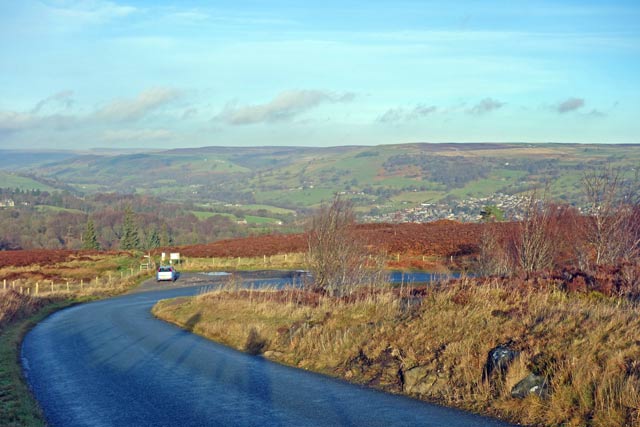
- Trapping hill from Lofthouse – 8 miles north of Pateley Bridge
- Norwood Edge 7 miles south of Pateley Bridge
- Guise Edge / Naught Bank – alternative route to the top of Greenhow
Veloviewer
Strava – Greenhow full
Strava – Greenhow to Peat Lane
Related pages
How can you write about Greenhow Hill and not mention Kipling’s story, written in the days when the roads were quieter?
https://en.wikisource.org/wiki/On_Greenhow_Hill
“Rumbolds Moor stands up ower Skipton town, an’ Greenhow Hill stands up ower Pately Brig. I reckon you’ve never heeard tell o’ Greenhow Hill, but yon bit o’ bare stuff if there was nobbut a white road windin’ is like ut; strangely like. Moors an’ moors an’ moors, wi’ never a tree for shelter, an’ gray houses wi’ flagstone rooves, and pewits cryin’, an’ a windhover goin’ to and fro just like these kites. And cold! A wind that cuts you like a knife. You could tell Greenhow Hill folk by the red-apple colour o” their cheeks an’ nose tips, and their blue eyes, driven into pinpoints by the wind. Miners mostly, burrowin’ for lead i’ th’ hillsides, followin’ the trail of th’ ore vein same as a field-rat. It was the roughest minin’ I ever seen. Yo’d come on a bit o’ creakin’ wood windlass like a well-head, an’ you was let down i’ th’ bight of a rope, fendin’ yoursen off the side wi’ one hand, carryin’ a candle stuck in a lump o’ clay with t’other, an’ clickin’ hold of a rope with t’other hand.”